Last week, the British Library did something pretty unprecedented. It took a massive 1 000 000 images extracted from the last four hundred years of its archives and dumped them onto Flickr. The images were created by Microsoft as part of a huge project to digitise the collection, and are available as public domain works for people to reuse as they wish.
It’s a fantastic contribution to world culture which should be celebrated. Given the long relationship between Britain and Africa there are absolutely loads of images in relating to the continent – especially sketches of people, places and tools writers encountered while travelling. Many of them, of course, are produced by people viewing the continent through the skewed prism of colonialism, but even so there’s a wealth of useful fin de siecle and other era information contained within.
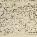
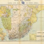
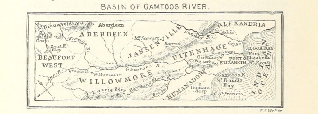
We’re still going through the treasure trove looking for cool stuff to plunder in the meantime here’s a quick and simple collection of 10 historical maps of Africa which show all kinds of geographical and economic detail created at different times for different purposes to enjoy.
Click on any one of the images below for a detailed high resolution pic.