
In 1976, the first reports of the deadly Ebola virus came from Yambuku, Zaire (now known as the Democratic Republic of Congo), infecting 318 citizens and killing 280. Over the years, the Ebola virus has spread across most of central and northern Africa as well as to other continents including North America, Europe and Asia.
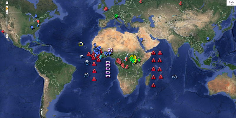
Google, with the help of the World Health Organization (WHO), Wikipedia and other international news publications, tracks and records reported Ebola infections and deaths on a frequently updated documentary on Google Maps.
The latest recorded infection on the map is taken from a news story about three people who have put into isolation at a hospital in Ghana.
The map is useful to keep up to date with news and updates on Ebola, at a time where concerned citizens around the world and especially Africa, want to know more about the virus and whether or not there is a possibility of it spreading to their country.
According to Google, searches with the keyword “Ebola” went up by 2000% within the last week of July.
[Source – Google Maps, Image – Google Maps]

