
No-one seems exactly how to react to violent militant group the Islamic State (IS), which has captured large swathes of Iraq and Syria in its bid to establish a new caliphate. And part of the reason may be that tracking them down in the vast expanses of desert is more than a little tough.
But Eliot Higgins thinks that his Kickstarter-funded investigative journalism website Bellingcat might have tracked down the exact location of an ISIS training camp and a recent street march by just using photographs published by the group themselves.
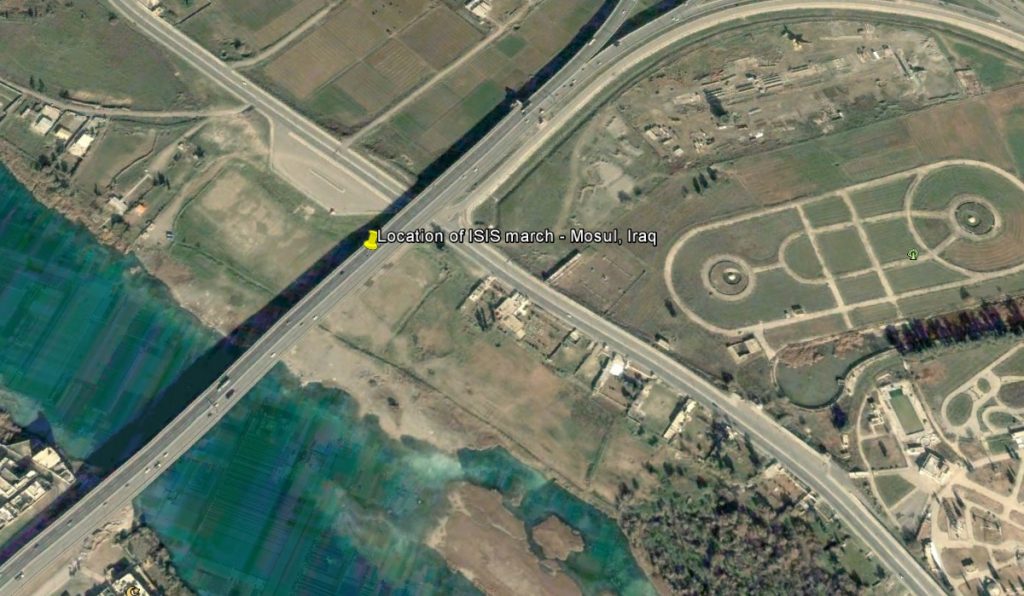
The group published a number of pictures in July, and through the use of clever searching, Google Earth and Flash Earth, Higgins has managed to pin down ISIS to where the images were taken – on the north side of the Tigris river in Mosul, Iraq.


By analysing bridges, rivers and tree lines, he managed to identify the exact locations of all the photos, which has since been removed.
“In the entire area there’s only one possible location that matches, on the north side of the river, with the camera pointing south,” he explained about a posted graduation image. “It also appears the martial arts lessons were photographed in the same area, with the bridge running over the road visible, and the trees on the right.”
By employing the same technology and research methods, the group thinks that it has found the exact location of murdered American journalist James Foley. “In the video there’s not a great deal of information, however, it is possible to determine some information from the images.”
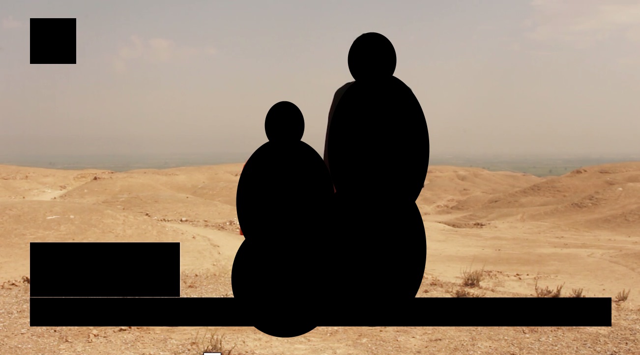
To the casual observer it looks like a typical desert scenario, with no usable objects to pinpoint a location – but that is what Bellingcat is good at. “It appears to be a hilly area, with barely any plants or grass, and in the distance we can see a green plain below the hills. In the below map we can see Raqqa, surrounded by green plains, with hills to the south,” he explained.
By looking at the position of the sun, hills to the south of Raqqa, the road curving to the left in the image and where the certain hills start, they think that they are spot on. “In this image, filmed face on to James Foley, the break in the rocks is visible on the left, with another small break in the rocks visible on the right.”

“It also appears that in the distance there’s no obvious structures beyond what may be trees or small individual buildings. When the camera is positioned to the right it appears trees are visible in the distance that are a possible match to the trees on the road to the north-west. It’s also worth noting buildings or other structures are not visible on the satellite map or on the video,” Bellingcat explained.

For a full explanation for how they tracked down the location of the other images posted by ISIS, click here, and to read further on how they located the location of Foley’s murder click here.
[Source, Images – Bellingcat]

